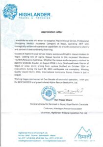
Prakash’s career journey is impressive and diverse, spanning over three decades. It began in 1994 in the tourism sector with a renowned travel company. After five years, he shifted his focus to humanitarian and aid work, collaborating with organizations like UN-WFP, MSF, GTZ and various INGOs. His efforts involved distributing essential items to remote regions in Nepal such as Jumla, Humla, and Kalikot, and managing cargo flights and helicopters, even securing Nepal Army aircrafts during emergencies.
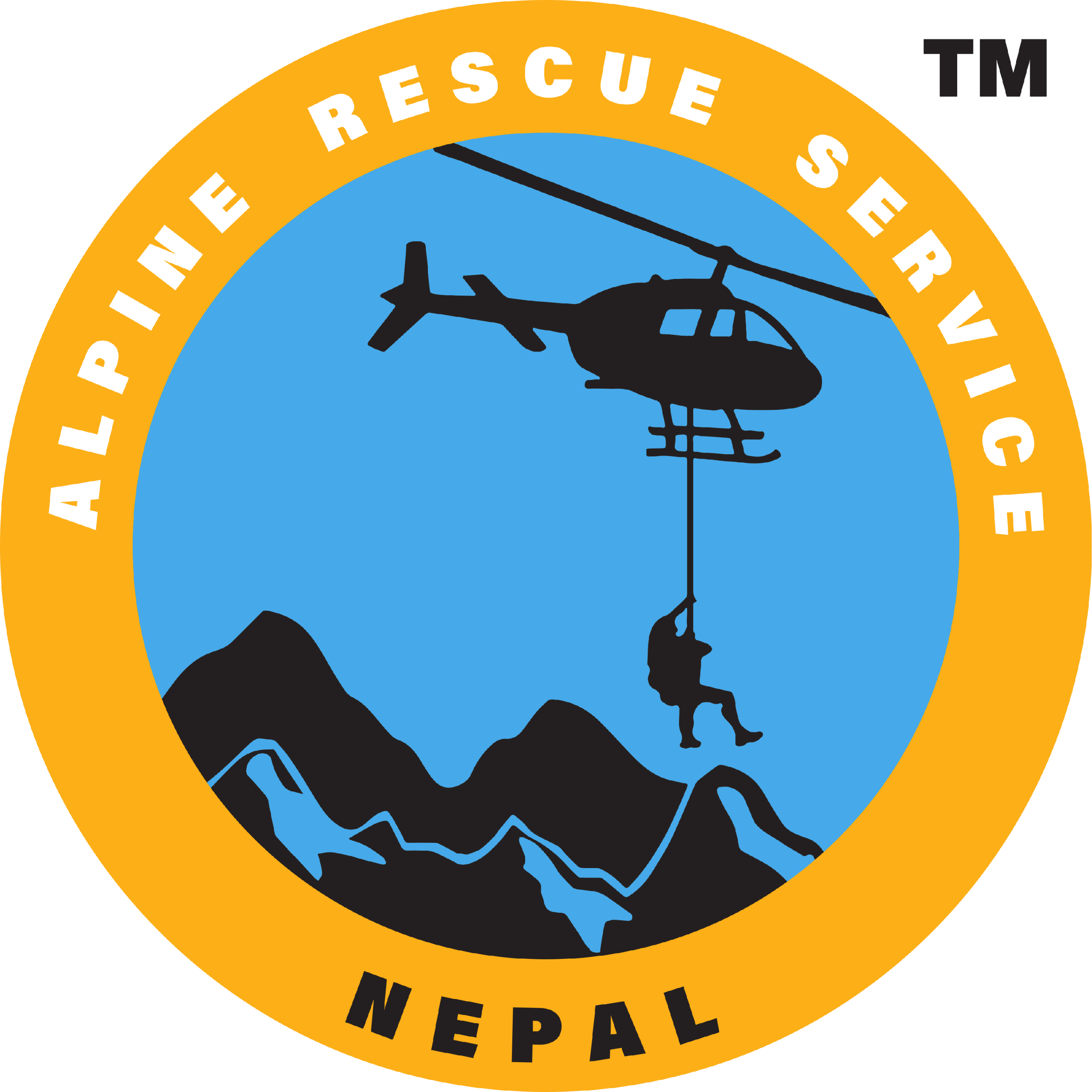
He has also played a vital role in supporting major international organizations, including the World Bank, Asian Development Bank, MSF, GTZ, and UNDP, by coordinating cargo and passenger flights to challenging areas, including post-disaster regions. Additionally, he operated tours in Tibet, China. Around 2012, recognizing the need for local partnership in the insurance and assistance sectors, Prakash founded Alpine Rescue Service, leveraging his extensive experience. His career continues to be marked by significant contributions across multiple fields, including education, health, finance, hospitality, and social service, reflecting a lifelong dedication to impactful initiatives.
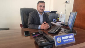
Message from the founder
Greetings!
I am filled with pride as we embark into another year of dedicated service in the mountains of
Nepal. I want to express my gratitude to each member of our team. Your dedication, skill, and
professionalism are the bedrock upon which our success is built. And together I want to renew
our pride gained by overcoming numerous challenges, demonstrating resilience, skill, and
compassion in every mission. Your unwavering commitment to the safety and well-being of
those in need has set a standard of excellence that is second to none.
This dedication to excellence enables us to reach new heights in our ability to provide swift and
effective assistance to those in distress. Together, we stand as a beacon of hope for those in
their darkest moments. Our commitment to saving lives is not just a profession; it is a noble
calling that requires courage, compassion, and selflessness.
Thank you.
– Prakash Chandra Lohani